
Switzerland
The Swiss pilot site sheds light on the soil health status of steep forest soils periled by droughts as result of climate change. We study the versatile ecosystem mechanisms to scope with reduced water supply.

Overview
Introduction:
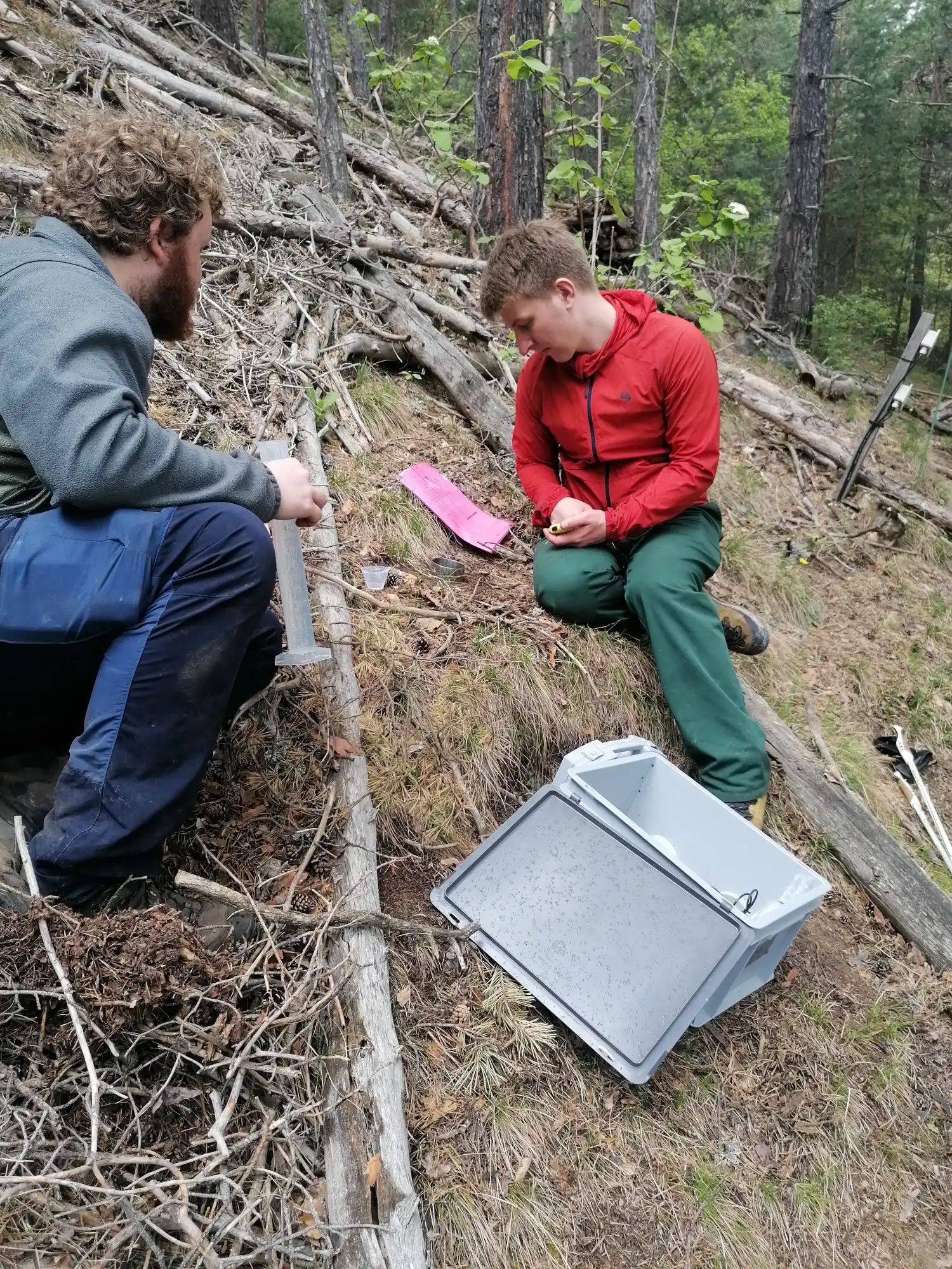
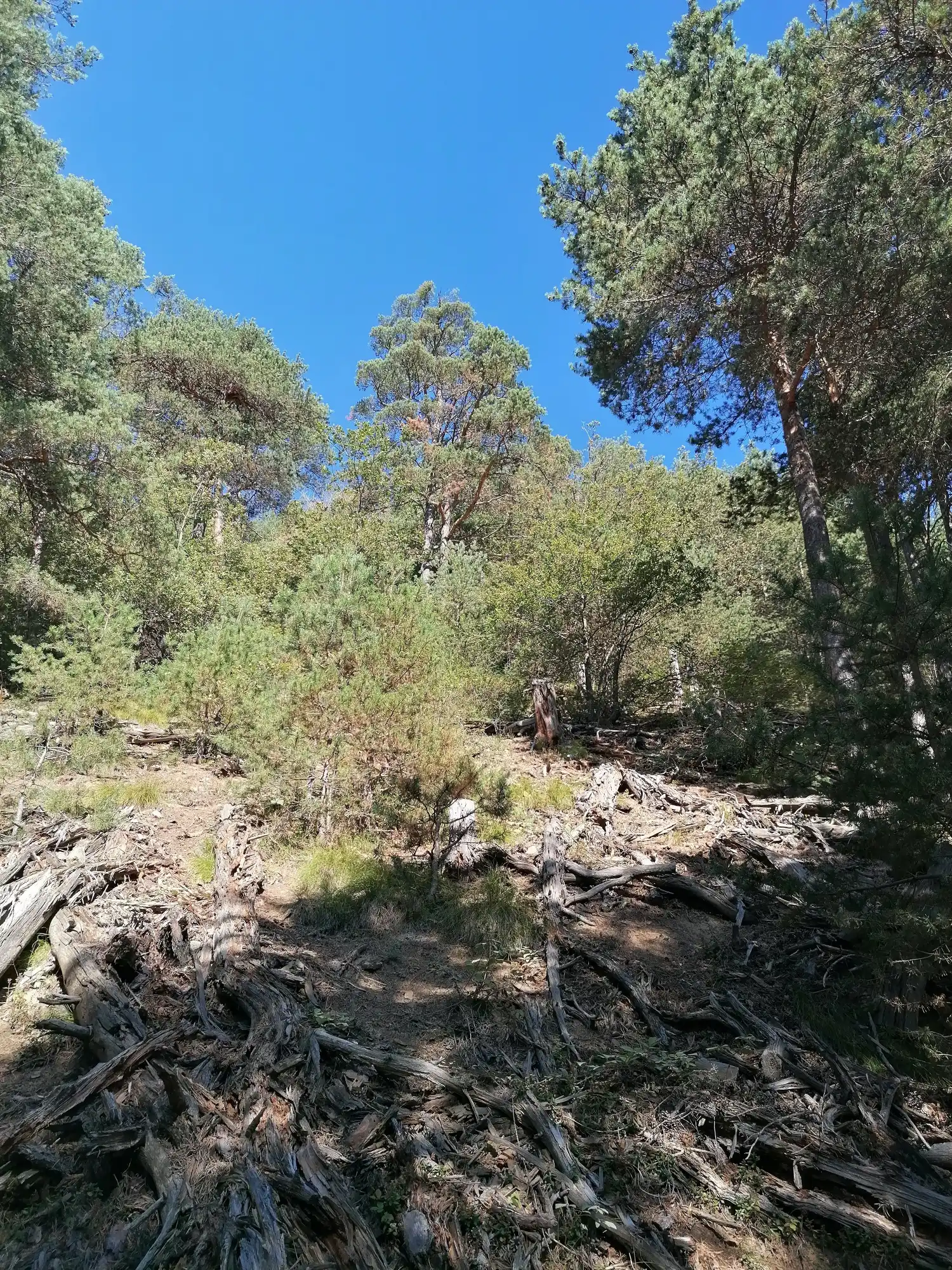
The Swiss pilot site, called “Lens” is a south-faced forest slope in the Valais region, located at 1060 m above sea level. The objective with this pilot site is to quantify the soil water balance in a forest during the dry season. In June 2024, 40 sensors were installed by the soil physics group of ETH to measure water fluxes. The site is part of the Swiss Long-term Forest Ecosystem Research Programme LWF of the WSL research institute.
The site is located within a natural, coniferous forest stand which consists of 150–170-year-old Scots pine (Pinus sylvestris) trees. The site is equipped with a meteorological measurement station and several soil profiles to measure soil moisture time series. Starting in 2024, a new profile will be instrumented as part of the new national soil moisture network. The soil is a Haplic Calcisol and the following properties were measured previously in 1996 (methods by Walthert et al., 2002):
- Soil texture (sedimentation)
- Skeleton content (field assessment or gravimetric)
- Bulk density
- pH (H2O, CaCl2, KCl)
- Cation-exchange-capacity including measurements of individual cations and base saturation (ammonium -chloride-extraction)
- Organic C (dry combustion) and inorganic C (sulfuric acid)
- Total nitrogen (dry combustion), organic and inorganic P (ashing, colorimetric)
- Chemical elements (HNO3-extraction)
- Chemical elements (NH4Cl-extraction)
Soil health indicators:
The focus is on soil structural properties and the changes of structure formation factors during the dry season. Soil samples will be collected to scan the structural pores using X-rays and to measures their effects on soil hydraulic properties.
In addition to soil water content and soil matric potential (i.e., plant available water), the infiltration capacity, soil structure quality, and enzyme activity will be measured.
In case of severe drought, the soil may become hydrophobic, limiting the water availability in the topsoil. Accordingly, the soil wettability will be measured as well.
To capture the plant water availability at larger spatial scale, the subsurface will be scanned with geophysical methods (electrical resistivity tomography).
Data collected by this pilot site:
The indicators (infiltration rate, enzyme activity) are measured every month to quantify the change in structural properties during the dry season. At each sampling campaign, the measurements and the sampling are conducted at five random locations.
Methods used for the evaluation:
Infiltration capacity is assessed using the Beerkan method, which involves measuring the infiltration rate over time, considering texture information, and estimating initial and saturated water content. Enzyme activity of the collected soil samples will be measured by project partner DigitSoil (fluorescence)
Gallery