Denmark
The first pilot is important for the AI4SoilHealth project because it represents sites with high organic carbon content, and it is included to assess and validate Danish and European maps of peat health status. The second pilot site is exciting as is includes historical monitoring data from locations with large gradients in land use practice, soil type and management practices. Several indicators will be tested in the new sampling coming up in 2024, and the indicators will be tested in a spatial context.

Overview
Introduction:
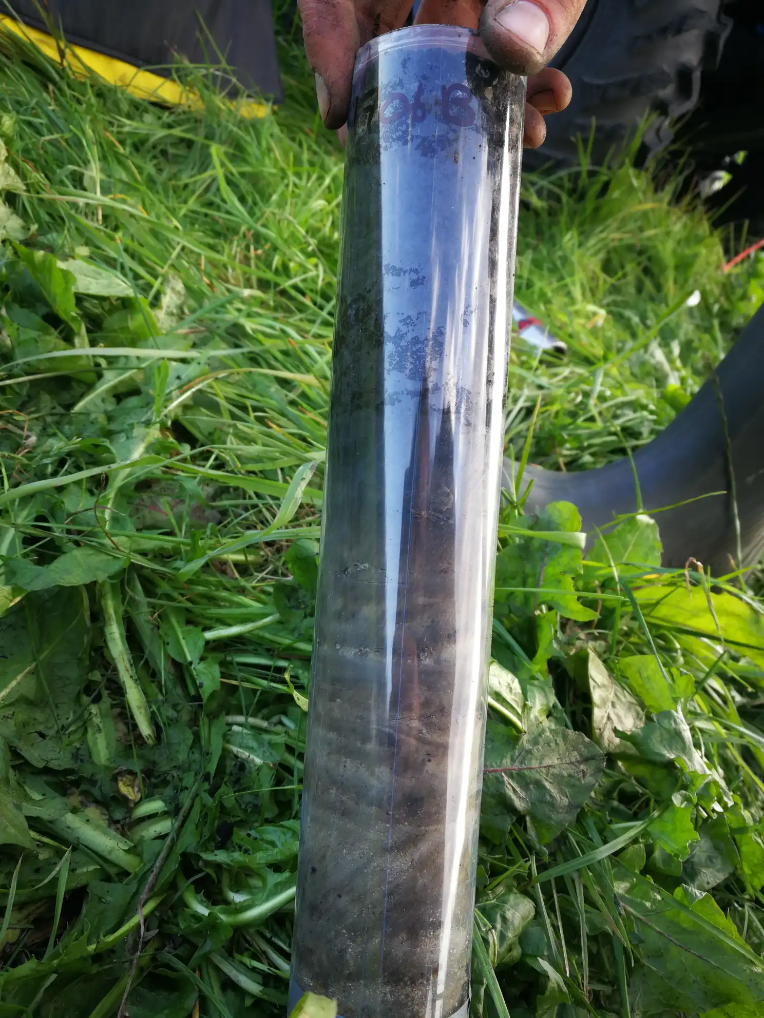
Aarhus University operates the Danish pilot sites, situated in a north temperate climate zone with a coastal/sea climate. The first of the two pilot sites specifically targets peat soils, covering a subset of the national peat sampling in Denmark. The national peat sampling covers 1000 points, and the pilot site covers 130 of these points selected randomly, but evenly distributed across Denmark. The dataset includes in-field analyses, bulk soil analyses, and intact/100 cm3-ring analyses, and at each sampling point, measurements are taken at up to four depths ( e.g. carbon, nitrogen, particle density and NIR spectra). The second pilot site covers 10-20 fields, strategically chosen to reflect gradients in land use, soil type/texture, and management practices in Denmark.
Soil health indicators chosen:
Pilot Site 1: As part of the national peat sampling programme, the indicators covered in this data set are included to assess the peat health status of Danish soils. Therefore, total organic carbon (TOC) is the most critical indicator for this pilot, though several variables have been assessed.
Pilot Site 2: In this pilot, focus will not be on a single indicator, but various indicators will be tested across significant gradients in land use, soil type, and management practices. Importantly, these indicators will be examined within a spatial context. The study aims to encompass all fundamental indicators while also exploring novel ones.
Data collected by this pilot site:
Pilot Site 1: This dataset stands out for its extensive coverage of peat soils, featuring a rigorous sampling setup and thorough analyses of both bulk and intact soil samples. Sampling and analyses are fully completed, offering valuable potential for validating soil organic carbon (SOC) maps in peat soil regions. Furthermore, additional soil remains available from sampling points, allowing for future dataset extensions if needed for further analyses.
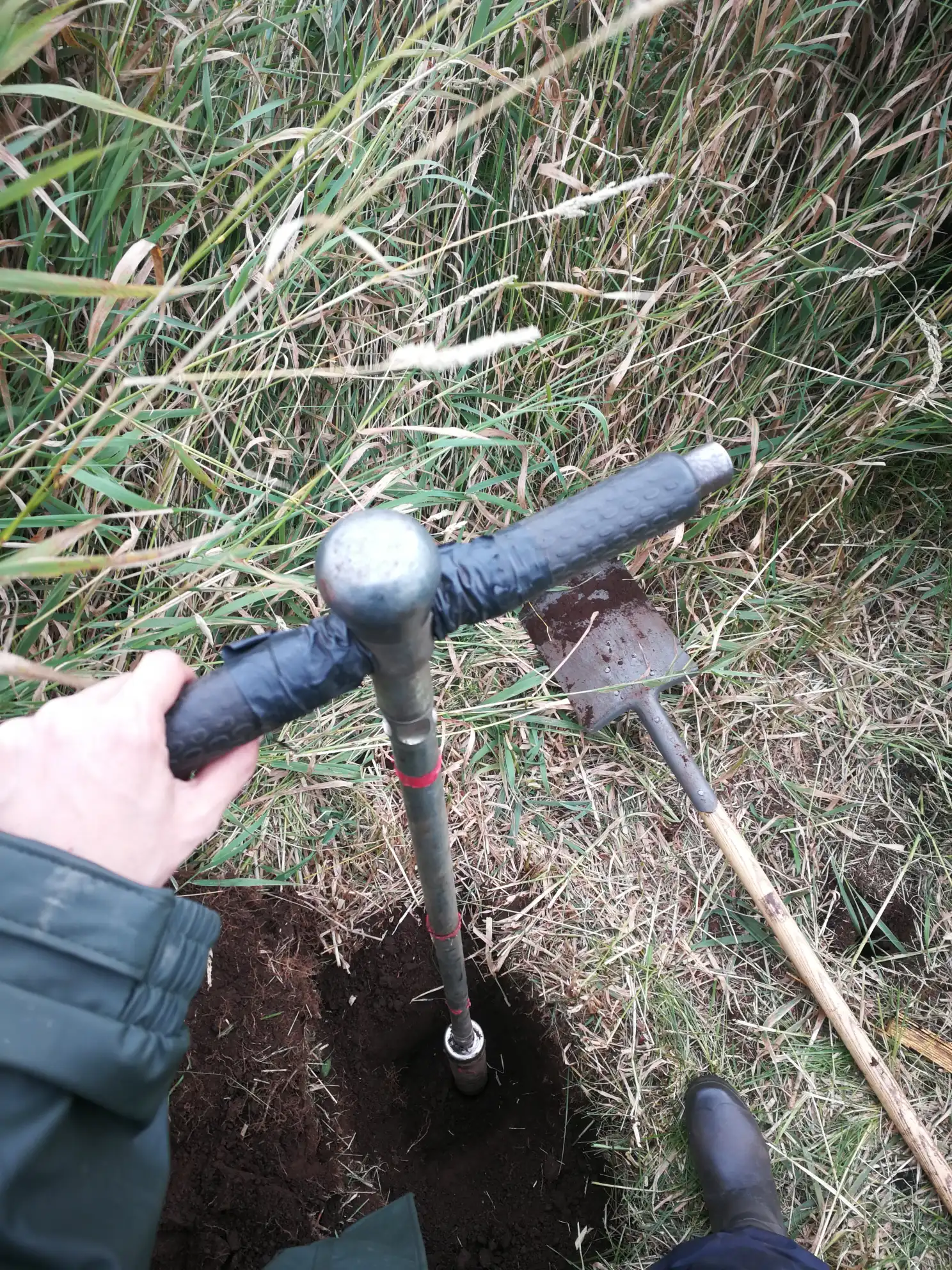
Pilot Site 2: Within each field the sampling will be carried out in a spatial context, using an intensively sampling grid constructed around each of the selected points. From each field, 9 points will be sampled.
Methods used for the evaluation in the Danish Pilot 2:
In-field analysis:
- Near-Infrared spectroscopy (NIR)
- Mid-Infrared spectroscopy (MIR)
- Earthworm assessments
- Soil profile descriptions
- Visual evaluation of soil structure (VESS).
Bulk top-soil analysis:
- Texture
- Bulk density
- Total organic carbon (TOC)
- Total nitrogen (TN)
- Total phosphorus (TP)
- Electrical conductivity (EC)
- Cation exchange capacity (CEC)
- pH
- Near-Infrared spectroscopy (NIR)
- Mid-Infrared spectroscopy (MIR)
- Liquid surface tension (water repellency)
- DNA analysis
Gallery