Wales, UK
The Plynlimon research catchments contribute long-term, high-quality hydrological and ecological data, crucial for AI 4 Soil Health. The advanced analytical tools, AI-driven insights and EU-wide data interpretation generated by the project will in return improve understanding of soil health predictions and management strategies within the catchments.
Overview
Introduction:
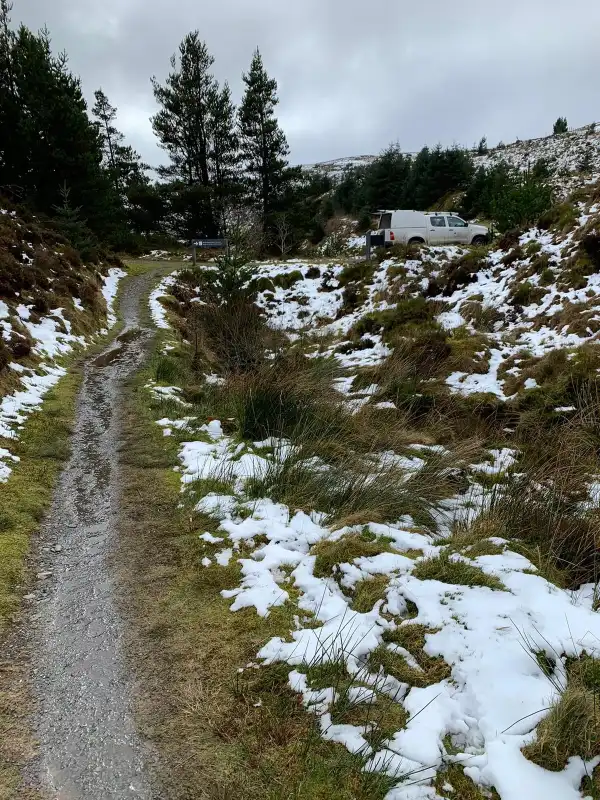
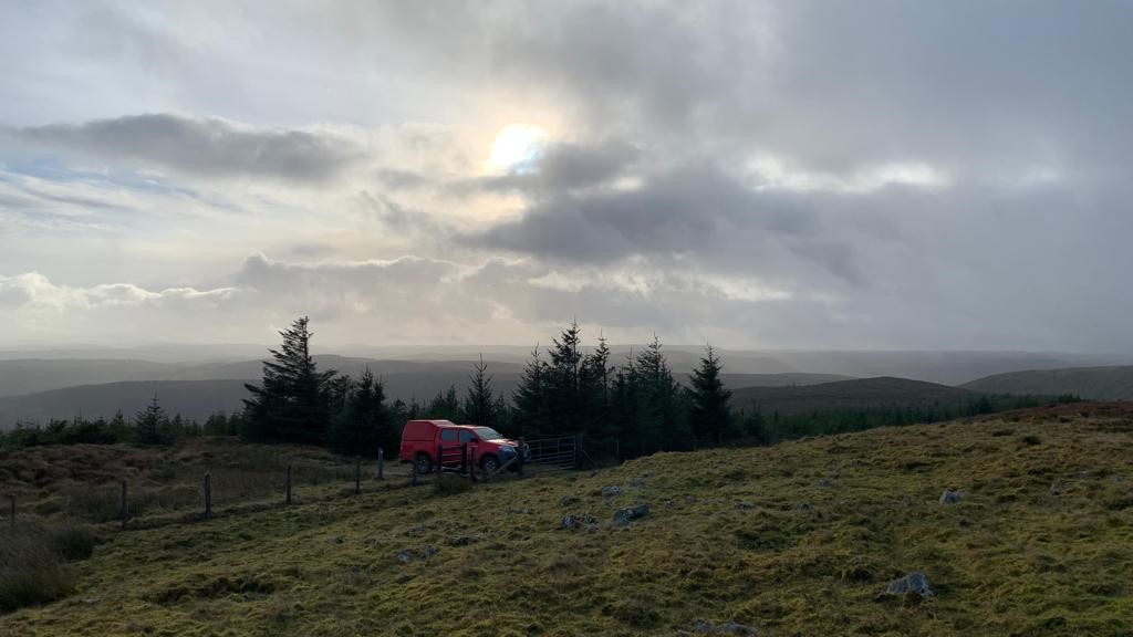
The UK pilot site is run by the UK Centre for Ecology & Hydrology (UKCEH) in Wales. Since the 1960s, the Plynlimon research catchments have been at the forefront of hydrological and hydrochemical research, both in the UK and internationally. These catchments, which feed into the headwaters of the rivers Severn and Wye, cover approximately 1925 hectares and exhibit a mix of moorland and plantation forest land uses. Traditionally utilised for livestock grazing, timber production, and salmon fisheries, they also hold significant conservation, amenity, water resource, and carbon storage value.
The climate in the Plynlimon catchments is characterized by high rainfall, averaging around 2500 mm annually, and cool temperatures, with a mean annual temperature of approximately 7°C. Over 35 years of continuous monitoring have produced a comprehensive hydrochemical record, including data on pH, alkalinity, nutrients, major cations, anions, trace metals, dissolved organic carbon (DOC), and dissolved organic nitrogen (DON) in both deposition and stream water samples.
Moreover, these catchments serve as outdoor laboratories for studying various environmental phenomena, such as the biogeochemical responses to acid deposition, forest harvesting, agricultural management practices, and climate change, at both plot and small catchment scales.
Soil health indicators:
Within the Plynlimon catchments, the objective is to understand the state and change of physical, chemical and biological properties to track overall soil health. The likely measurements which will be taken in these catchments will include:
- Bulk density, aggregate stability and texture to understand the physical condition of soils.
- pH, nitrogen and phosphorus to understand acidity and nutrient status of soils.
- Contaminant levels including heavy metals and persistent organic pollutants.
- Maps of bacterial and fungal diversity as well as mesofauna abundance and diversity to understand the biodiversity status.
- Soil functions including potential nitrogen mineralisation, nitrification rates, basal respiration rates, carbon substrate utilisation rates and water holding capacity. This will be assessed through moisture content at both time of sampling and field capacity.
- Dried and frozen samples which will be archived to enable the emergence of new contaminants to be traced back and new molecular techniques to be applied as they become available
- Integrated analysis to investigate changes in land use and vegetation composition.
Data collected by the pilot site:
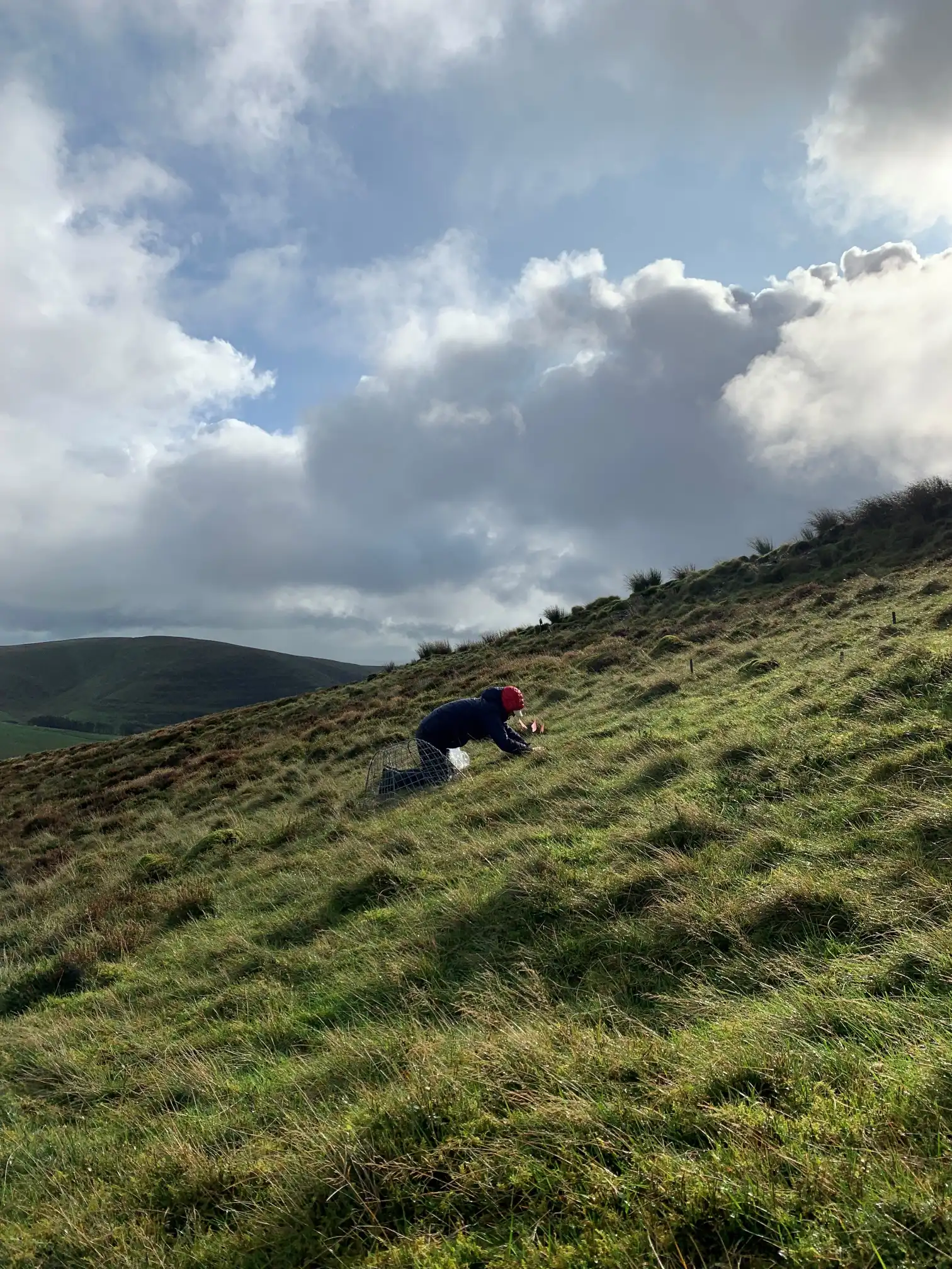
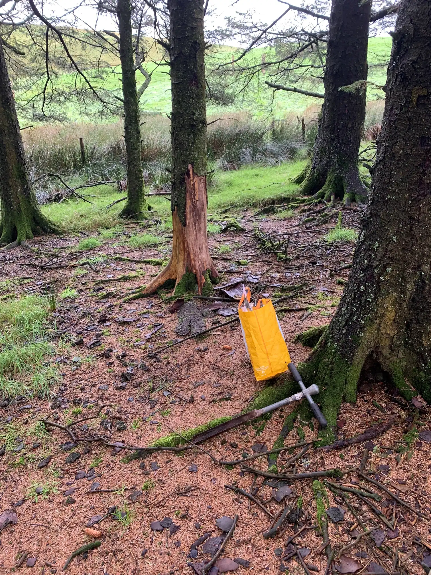
Collection of soil samples and field observations of habitat type and features like erosion and compaction.
Methods used for the evaluation:
Bulk density (stone corrected), pH, conductivity, Loss on Ignition, Total Carbon-Nitrogen-Phosphorus, Olson-P, Laser particle size distribution, eDNA.
Gallery