The Italian pilot site is paving the way towards the development of dynamic monitoring approach to assess the status and the spatiotemporal change of soil erosion process at regional level.
Overview
Introduction:
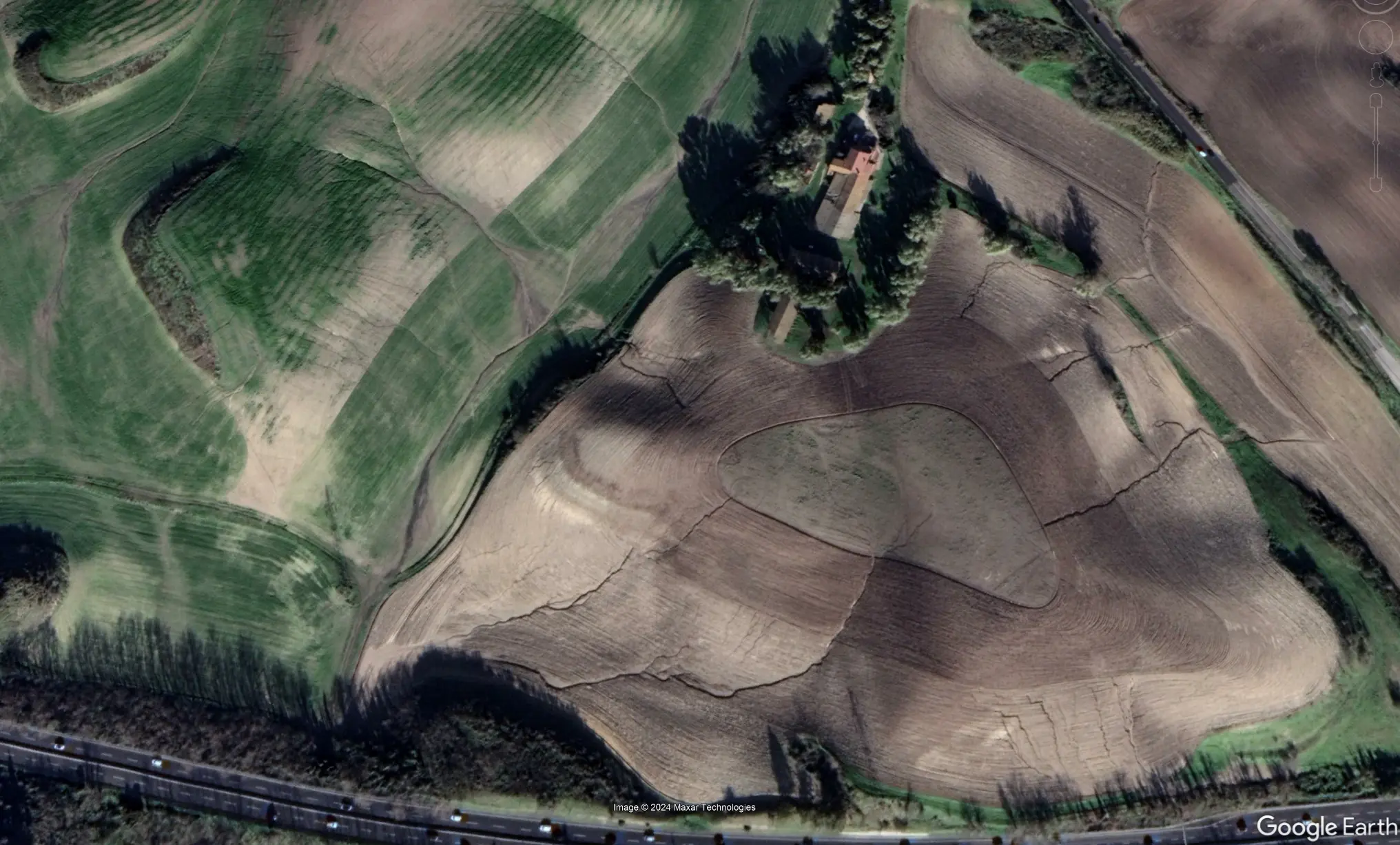
The Italian pilot site is operated by the Università Degli Studi Roma Treand aims to study with high detail the soil erosion dynamics in five arable sites and test techniques for upscaling (150 km2) the acquired knowledge. The pilot area’s objective is to test object-oriented dynamic soil erosion monitoring and modelling methods to support the development of future EU monitoring systems.
Location: ITI43 Municipality of Roma (IT)
Potential pilot area size: 15 hectares
The approach will integrate Land Parcel Identification System (LPIS), Copernicus, and LUCAS data to compute an enhanced cover and management factor (C) for process-based (Water Erosion Prediction Project, WEPP) and empirical (Revised Universal Soil Loss Equation, RUSLE) models operating at monthly and event-based timescales.
Soil health indicator chosen: Prevent erosion
Data collected by this pilot site:
UAV photogrammetry (RGB), LiDAR scanning (cloud point and DTM), digital detection of soil erosion features, field-based quantitative estimates of soil loss (Gully and rill processes), model-based (WEPP) quantitative estimates of soil loss.
We use cookies to ensure that we give you the best experience on our website. If you continue to use this site we will assume that you are happy with it.